
NOAA, 12 November: El Niño still strengthening, but the odds of a record event fall to about 60%
Updated: November 12, 2026 · 1 min read · Live dashboard
The numbers on November 12, 2026
- Chance of a historic event (RONI +2.5 °C or more)
- ~60%
- Oct–Dec and Nov–Jan; CPC discussion 12 Nov 2026 (8 Oct: 83% for Oct–Dec) · source
- Strong to very strong El Niño through Jan–Mar 2027
- over 79%
- CPC discussion 12 Nov 2026 (8 Oct: over 83%) · source
Frozen as published. For today's readings see the live dashboard.
NOAA's Climate Prediction Center kept its El Niño Advisory on 12 November and wrote that "El Niño continues to strengthen, with a strong-to-very strong El Niño likely through January-March 2027 (remaining greater than a 79% chance)." The headline change is the record question: CPC now puts the chance of a historic event at about 60%.
2026–27 vs the three strongest El Niños on record
Monthly Niño 3.4 anomaly, aligned by event month
What changed since 8 October. A month ago CPC gave a historic event — a three-month RONI of +2.5 °C or more, stronger than any El Niño since 1950 — "54% for September-November, 83% for October-December, and 70% for November-January." Today it says those chances "are now ~60% for the October-December and November-January periods, remaining at better than even odds." The strong-to-very strong floor moved from "greater than an 83% chance" to "greater than a 79% chance". The outlook now also says El Niño will "continue to strengthen before beginning to weaken in early 2027".
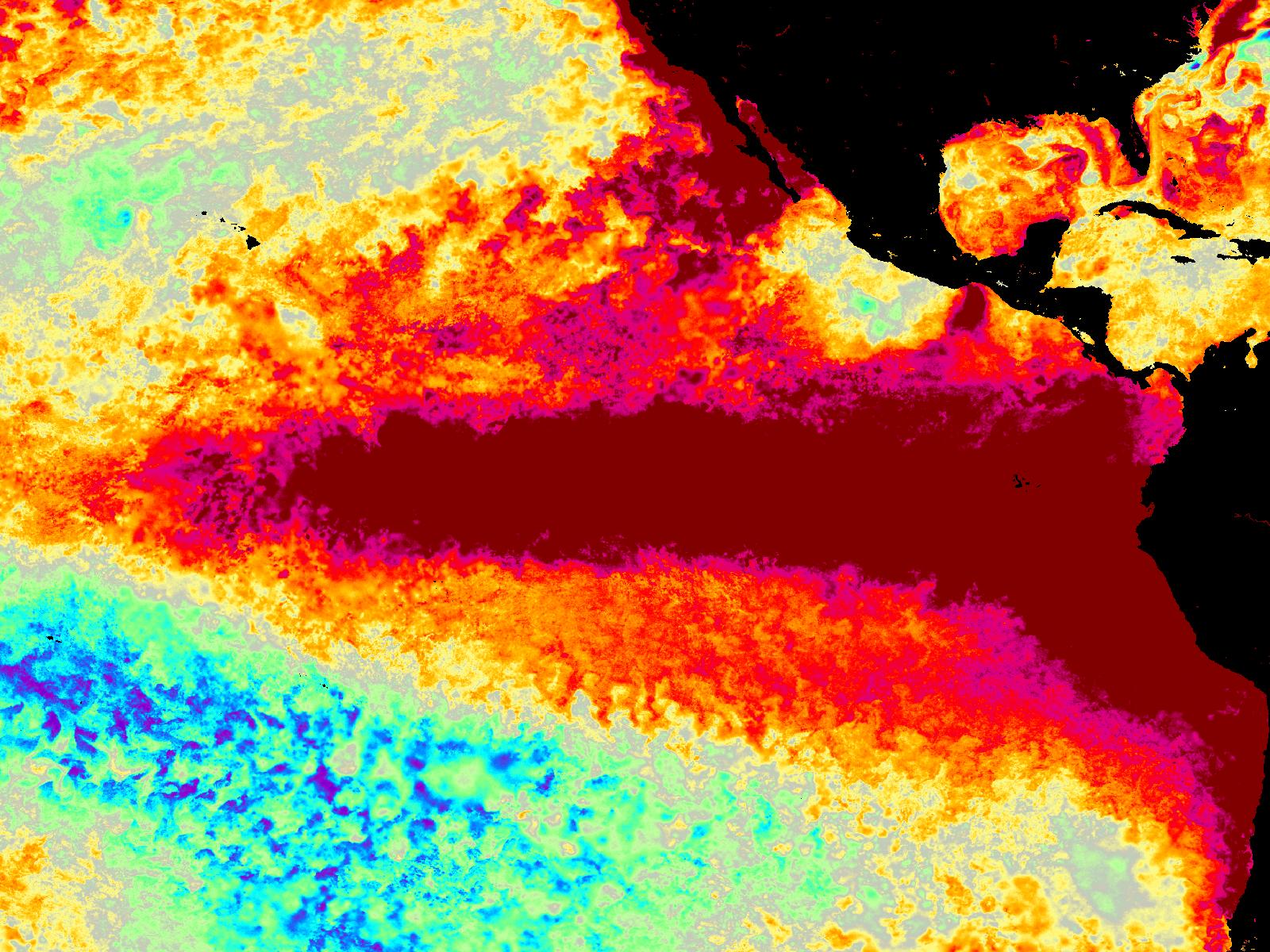
Where the numbers stand. The ocean has not cooled: CPC reports monthly anomalies of +2.5 °C in Niño 3.4, +3.6 °C in Niño 3 and +4.4 °C in Niño 1+2, and NOAA's weekly Niño 3.4 reads +3.3 °C for the week centred 4 November. The record question is about RONI, the relative index that takes out the warming of the whole tropical ocean. RONI for August–October is +1.97, while the conventional ONI for the same season is +2.46 °C — a new record for that season. A historic event needs RONI to reach +2.5 over three months.
What it means for the US this winter. NOAA's seasonal outlook of 15 October (next issue 19 November) says that "there is an elevated likelihood of above-normal seasonal precipitation amounts for much of California and the Southwest", and that "Above-normal precipitation in the Southeast is one of the most reliable signals from El Nino events". CPC repeats today that impacts are "higher, though not guaranteed".
Live dashboard → · NOAA's winter outlook, region by region → · The forecast page →
Keep reading
El Niño 2026: Tracking a Potential Super El Niño in Real Time
Declared in June, already strong by July, and still strengthening in October — the definitive guide to the 2026–27 event and its super-El-Niño odds.
El Niño Winter 2026–27: NOAA's Outlook and What Past Super El Niños Did, Region by Region
The event is forecast to keep strengthening through the end of the year. Here is what that has historically meant for winter, region by region — and what it cannot tell you.